logo
| Langue english français deutsch español italiano português русский 中文 日本語 العربية हिंदी

d-maps > Afrique > Botswana > District Central > frontières, hydrographie, routes

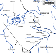
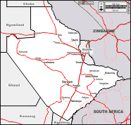
District Central (Botswana)
Central District
  frontières          hydrographie          routes
District Central : d-maps.com: carte géographique gratuite, carte géographique muette gratuite, carte vierge gratuite, fond de carte gratuit, formats graphiques courants : frontières, hydrographie, routes
District Central : principales villes

Bobonong - Gweta - Lerala - Letlhakane - Mahalapye - Maitengwe - Mathangwane - Mmadinare - Nata - Orapa - Palapye - Sefhare - Sefophe - Selebi-Phikwe - Serowe - Shoshong - Sowa - Tonota - Tsetsebjwe - Tsienyane - Tutume

| Informations légales | Conditions d'utilisation | Vos remarques | Politique de confidentialité  CopyrightFrance.com