logo
| Langue english français deutsch español italiano português русский 中文 日本語 العربية हिंदी

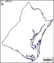
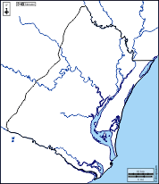
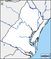
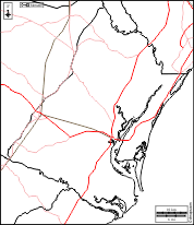
d-maps > Etats-Unis d'Amérique (USA) > Caroline du Sud > Comté de Georgetown > frontières, hydrographie, blanc

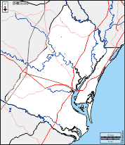
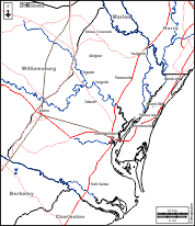
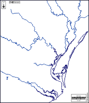
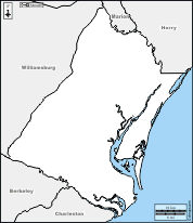
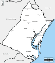
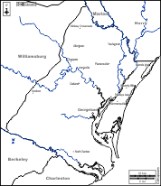
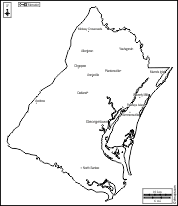
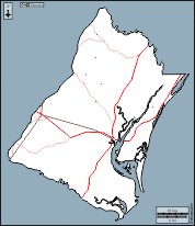
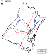
Comté de Georgetown (Caroline du Sud)
Georgetown County
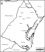
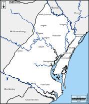
  frontières          hydrographie          blanc
Comté de Georgetown : d-maps.com: carte géographique gratuite, carte géographique muette gratuite, carte vierge gratuite, fond de carte gratuit, formats graphiques courants : frontières, hydrographie, blanc
Comté de Georgetown : principales villes

Allentown - Andrew - Annieville - Choppee - Georgetown - Midway Crossroads - Murrels Inlet - North Santee - Oatland - Pawleys Island - Plantersville - Simmonsville - Waverly Mills - Yauhannah

| Informations légales | Conditions d'utilisation | Vos remarques | Politique de confidentialité  CopyrightFrance.com