logo
| Langue english français deutsch español italiano português русский 中文 日本語 العربية हिंदी

d-maps > Europe > Suisse > Schwytz > frontières, hydrographie

Schwytz (Suisse)
Kanton Schwyz
  frontières          hydrographie
Schwytz : d-maps.com: carte géographique gratuite, carte géographique muette gratuite, carte vierge gratuite, fond de carte gratuit, formats graphiques courants : frontières, hydrographie
Schwytz : principales villes

Altendorf, Arth, Einsiedeln, Feusisberg, Freienbach, Galgenen, Gersau, Ingenbohl, Küssnacht, Lachen, Muotathal, Reichenburg, Rothenthurm, Schwyz, Schübelbach, Steinen, Tuggen, Unteriberg, Wangen, Wollerau.

| Informations légales | Conditions d'utilisation | Vos remarques | Politique de confidentialité
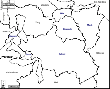
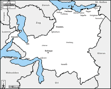
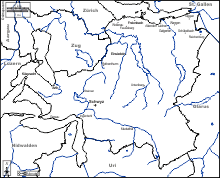
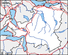
  CopyrightFrance.com