d-maps > Europe > Switzerland > Neuchâtel > boundaries, municipalities, white

Neuchâtel (Switzerland)
République et Canton de Neuchâtel

boundaries
municipalities
white
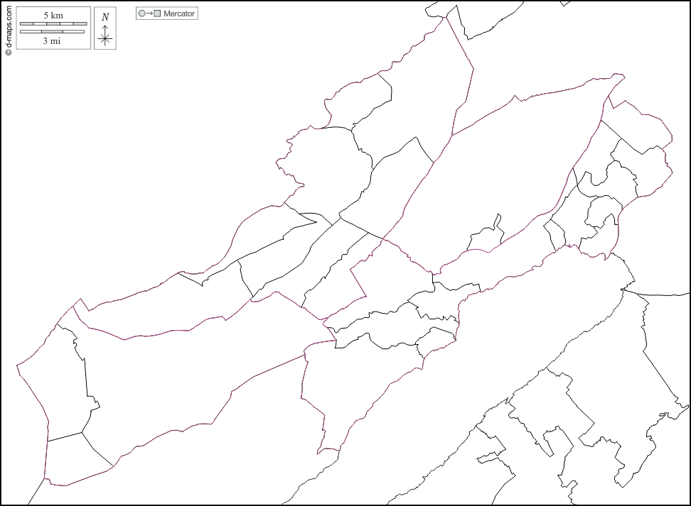
Neuchâtel : municipalities
Boudry - Brot-Plamboz - Cornaux - Cortaillod - Cressier - Enges - Hauterive - La Brévine - La Chaux-de-Fonds - La Chaux-du-Milieu - La Côte-aux-Fées - La Grande Béroche - La Sagne - La Tène - Le Cerneux-Péquignot - Le Landeron - Le Locle - Les Planchettes - Les Ponts-de-Martel - Les Verrières - Lignières - Milvignes - Neuchâtel - Rochefort - Saint-Blaise - Val-de-Ruz - Val-de-Travers
| About | Terms and conditions of use | Guest book | Privacy Policy 
© 2007-2026 https://d-maps.com