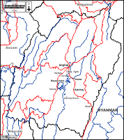
d-maps > Asia > India > Manipur > boundaries, districts

Manipur (India)
মণিপুর

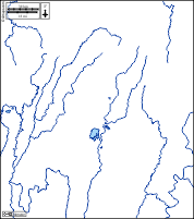
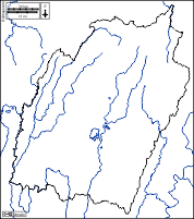
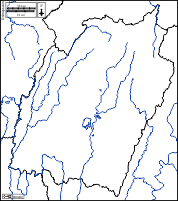
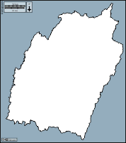
boundaries
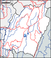
districts
Manipur : districts
Bishnupur - Chandel - Churachandpur - Imphal East - Imphal West - Jiribam - Kakching - Kamjong - Kangpokpi - Noney - Pherzawl - Senapati - Tamenglong - Tengnoupal - Thoubal - Ukhrul
| About | Terms and conditions of use | Guest book | Privacy Policy 
© 2007-2026 https://d-maps.com