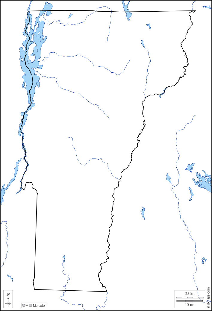
d-maps > United States of America (USA) > Vermont > Vermont > limits, hydrography

Vermont
State of Vermont

limits
hydrography
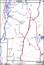
Vermont : main cities
Barre, Bellows Falls, Bennington, Brattleboro, Bristol, Burlington, Essex Junction, Fair Haven, Manchester Center, Middlebury, Montpelier, Newport, Northfield, Rutland, Springfield, St. Albans, St. Johnsbury, Swanton, Vergennes, White River Junction, Windsor.
| About | Terms and conditions of use | Guest book | Privacy Policy 
© 2007-2026 https://d-maps.com