logo
| Language english français deutsch español italiano português русский 中文 日本語 العربية हिंदी

d-maps > Europe > Germany > State of Berlin > outline, districts, motorways, color

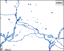
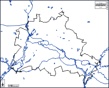
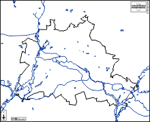
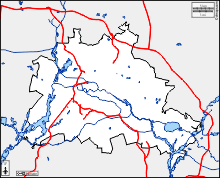
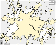
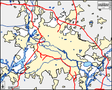
State of Berlin (Germany)
Land Berlin
  outline          districts          motorways          color
State of Berlin : d-maps.com: free map, free blank map, free outline map, free base map : outline, districts, motorways, color
State of Berlin : districts

Charlottenburg-Wilmersdorf, Friedrichshain-Kreuzberg, Lichtenberg, Marzahn-Hellersdorf, Mitte, Neukölln, Pankow, Reinickendorf, Spandau, Steglitz-Zehlendorf, Tempelhof-Schöneberg, Treptow-Köpenick.

| About | Terms and conditions of use | Guest book | Privacy Policy  CopyrightFrance.com