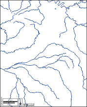
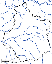
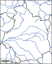
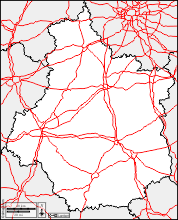
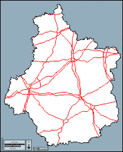
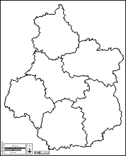
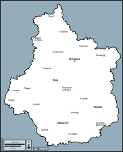
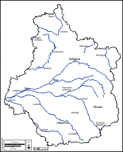
d-maps > Europe > France > Centre-Val de Loire > boundaries, hydrography, roads, white
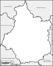


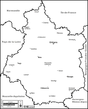

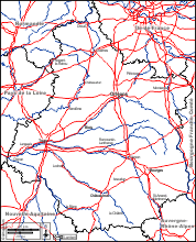
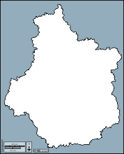
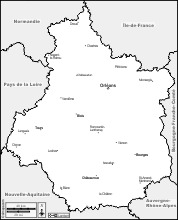
 Centre-Val de Loire (France)
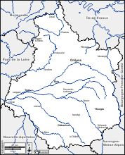
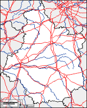
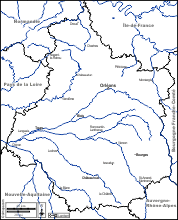
 boundaries hydrography roads white
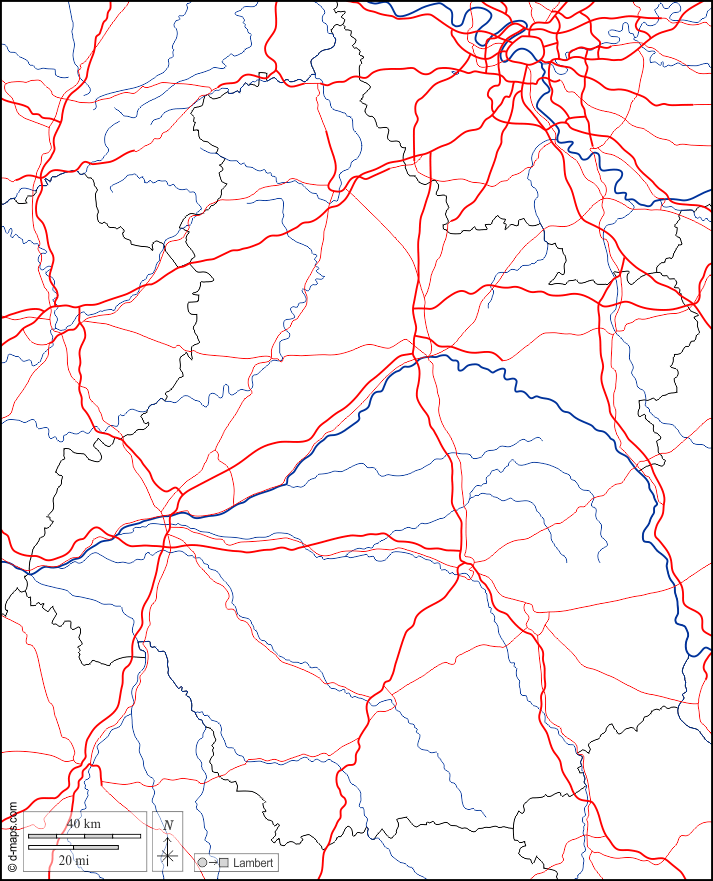


| About | Terms and conditions of use | Guest book | Privacy Policy ![]()