logo
| Language english français deutsch español italiano português русский 中文 日本語 العربية हिंदी

d-maps > Africa > Eritrea > Northern Red Sea > boundaries, hydrography

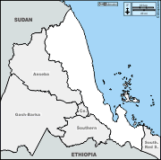
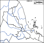
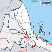
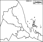
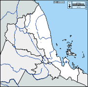
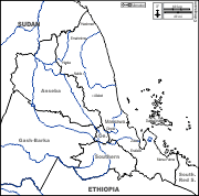
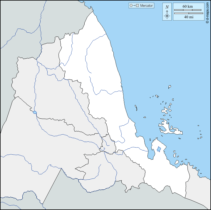
Northern Red Sea (Eritrea)
ዞባ ሰሜናዊ ቀይሕ ባሕሪ
  boundaries          hydrography
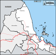
Northern Red Sea : d-maps.com: free map, free blank map, free outline map, free base map : boundaries, hydrography
Northern Red Sea : main cities

Afabet - Dahlak Kebir - Emahmime - Erafaile - Ginda - Hashmet - Hasta - Massawa - Mersa Fatma - Nakfa - Zula

| About | Terms and conditions of use | Guest book | Privacy Policy  CopyrightFrance.com