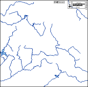
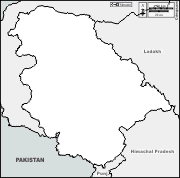
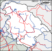
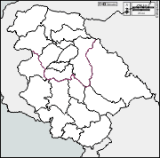
d-maps > Asia > India > Jammu and Kashmir > boundaries, districts, white

Jammu and Kashmir (India)
जम्मू और कश्मीर (केंद्र शासित प्रदेश)

boundaries
districts
white
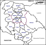
Jammu and Kashmir : districts
Anantnag - Bandipore - Baramulla - Budgam - Doda - Ganderbal - Jammu - Kathua - Kishtwar - Kulgam - Kupwara - Poonch - Pulwama - Rajouri - Ramban - Reasi - Samba - Shopian - Srinagar - Udhampur
| About | Terms and conditions of use | Guest book | Privacy Policy 
© 2007-2026 https://d-maps.com