logo
| Language english français deutsch español italiano português русский 中文 日本語 العربية हिंदी

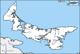
d-maps > Americas > Canada > Prince Edward Island > boundaries, hydrography, white

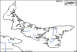
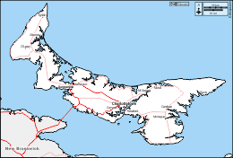
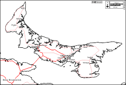
Prince Edward Island (Canada)
Prince Edward Island Province
  boundaries          hydrography          white
Prince Edward Island : d-maps.com: free map, free blank map, free outline map, free base map : boundaries, hydrography, white
Prince Edward Island : main cities

Alberton, Cardigan, Charlottetown, Cornwall, Kensington, Montague, Morell, Mt Stewart, O’Leary, Souris, Stratford, Summerside, Tignish.

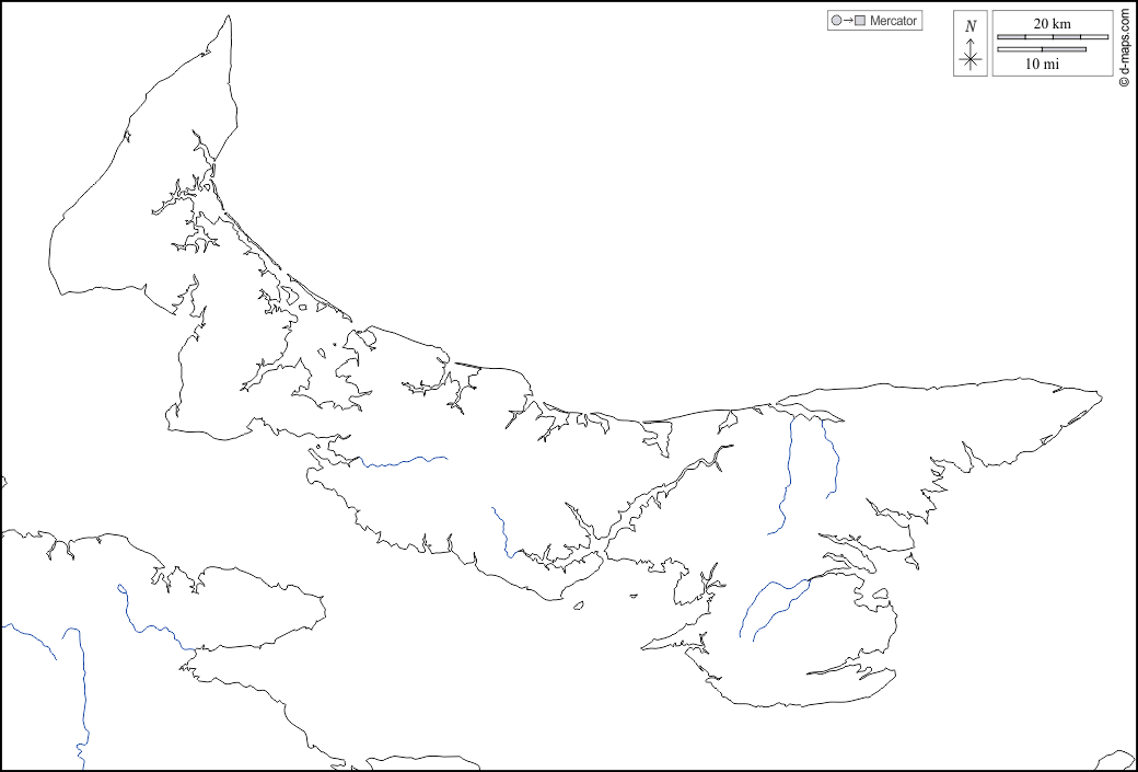
| About | Terms and conditions of use | Guest book | Privacy Policy  CopyrightFrance.com