logo
| Language english français deutsch español italiano português русский 中文 日本語 العربية हिंदी

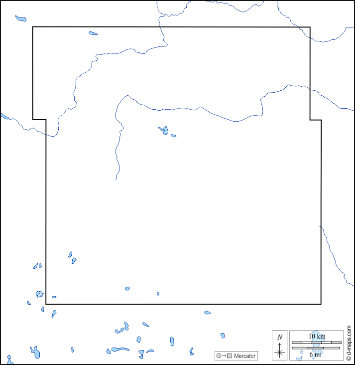
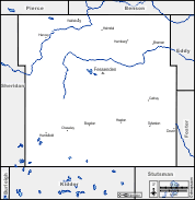
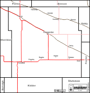
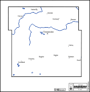
d-maps > United States of America (USA) > North Dakota > Wells County > coasts, limits, hydrography

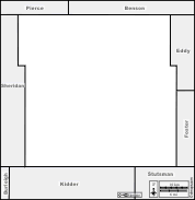
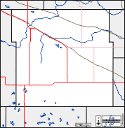
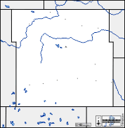
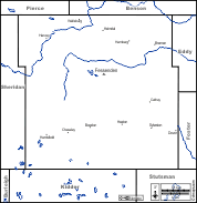
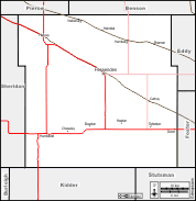
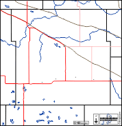
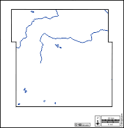
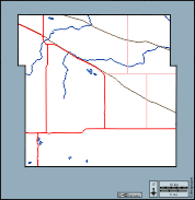
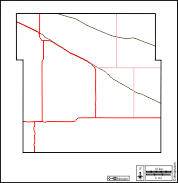
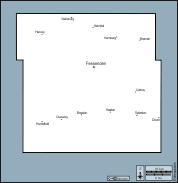
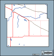
Wells County (North Dakota)
  coasts          limits          hydrography
Wells County : d-maps.com: free map, free blank map, free outline map, free base map : coasts, limits, hydrography
Wells County : main cities

Bowdon - Bremen - Cathay - Chaseley - Dover - Fessenden - Hamberg - Harvey - Heaton - Heimdal - Hurdsfield - Sykeston - Wellsburg

| About | Terms and conditions of use | Guest book | Privacy Policy  CopyrightFrance.com