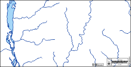
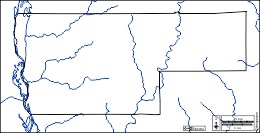
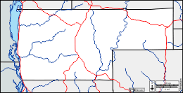
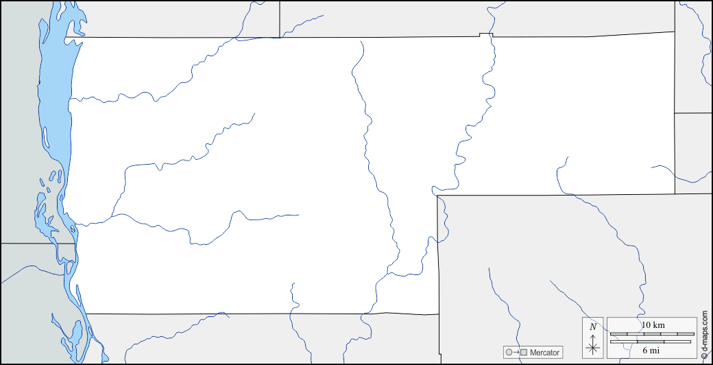
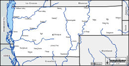
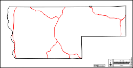
d-maps > United States of America (USA) > Wisconsin > Vernon County > boundaries, hydrography

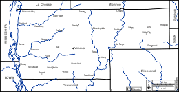
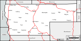
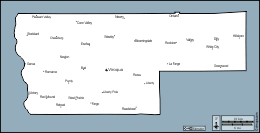
Vernon County (Wisconsin)

boundaries
hydrography
Vernon County : main cities
Bloomingdale, Bud, Chaseburg, Coon Valley, Dilly, Esofea, Fargo, Genoa, Greenwood, Hillsboro, La Farge, Liberty, Liberty Pole, Newry, Newton, Ontario, Pleasant Valley, Purdy, Readstown, Red Mound, Retreat, Rockton, Romance, Ross, Stoddard, Valley, Victory, Viroqua, West Prairie, Westby, White City.
| About | Terms and conditions of use | Guest book | Privacy Policy 
© 2007-2026 https://www.d-maps.com