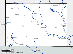
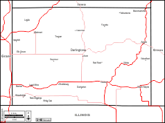
d-maps > United States of America (USA) > Wisconsin > Lafayette County > coasts, limits, hydrography

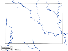


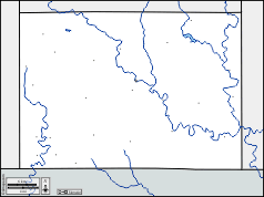
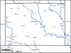

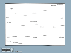
 Lafayette County (Wisconsin)
 coasts limits hydrography
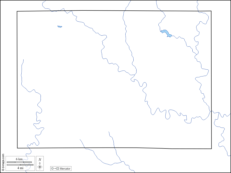


| About | Terms and conditions of use | Guest book | Privacy Policy ![]()