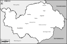
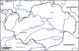
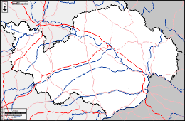
d-maps > Europe > Germany > Lower Bavaria district > boundaries, hydrography, main cities


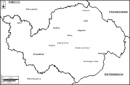
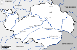
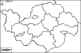
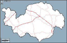
 Lower Bavaria district (Germany)
 boundaries hydrography main cities


| About | Terms and conditions of use | Guest book | Privacy Policy ![]()